WELCOME TO SPACE BORNE DATA CATALOG
GIS Data for a
Sustainable Future
Brighter Tomorrow
In the future, GIS data will become more comprehensive and dynamic, integrating real-time information from advanced sensors and AI-driven analytics. This evolution at Space Borne will revolutionize decision-making across sectors, fostering smarter, more resilient communities globally.
Since 2023, our clients have collectively harnessed GIS data to manage Soil Degradation, Wildife Management, and Resource Depletion.
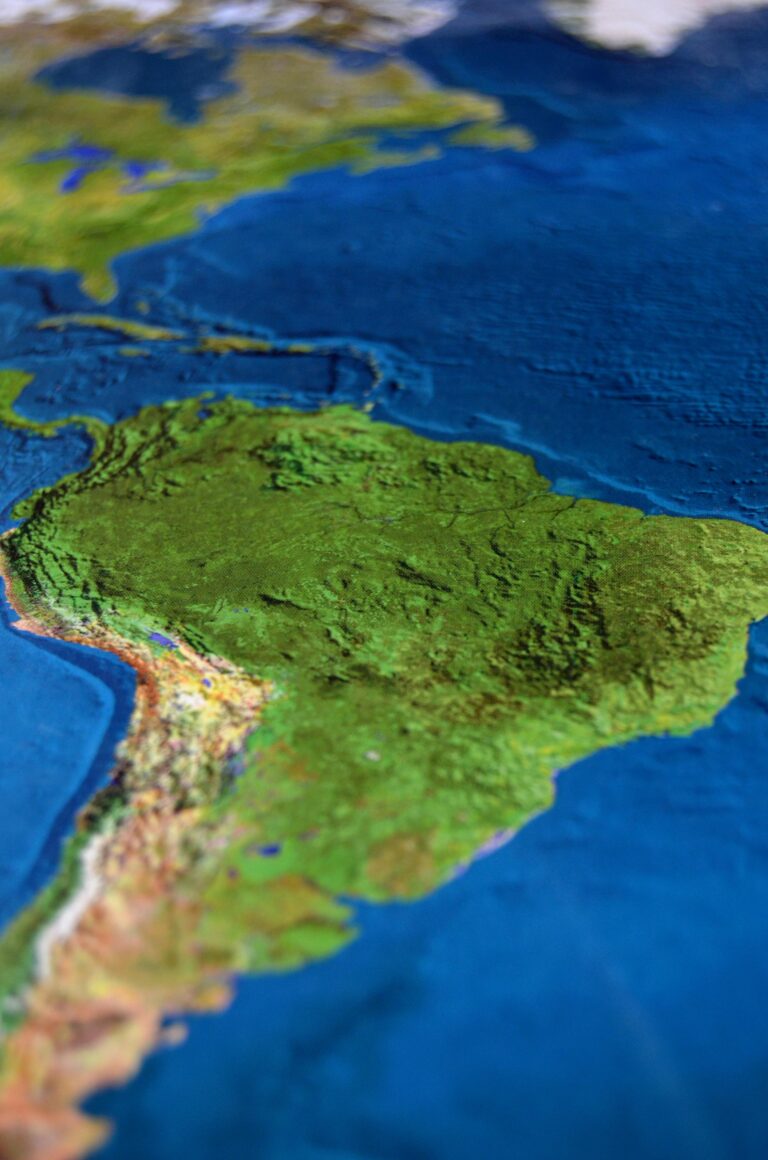
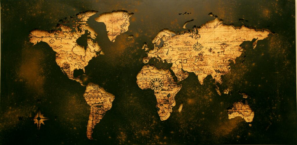
GIS Data in Resources Management
Precision Matters: Cultivate a Smarter Earth with GIS and Geospatial Data.
“Mapping the Future: Where GIS Paves the Way for a Sustainable World.”
In a world increasingly defined by environmental challenges, Geographic Information Systems (GIS) emerges as a transformative tool, illuminating pathways to a sustainable future. Through the lens of GIS data, we navigate complex landscapes with precision, uncovering insights that guide informed decision-making. From optimizing resource allocation to mitigating climate risks, GIS empowers us to cultivate a greener Earth, fostering resilience and harmony between humanity and our planet.
Raster Data
"Raster Data: Pixels with Purpose, Transforming Landscapes into Insights.
Vector Data
"Vector Data: Precision Points, Mapping the World with Clarity and Detail."
Climate Data
"Climate Data: Forecasting Tomorrow's Weather, Guiding Today's Decisions
.
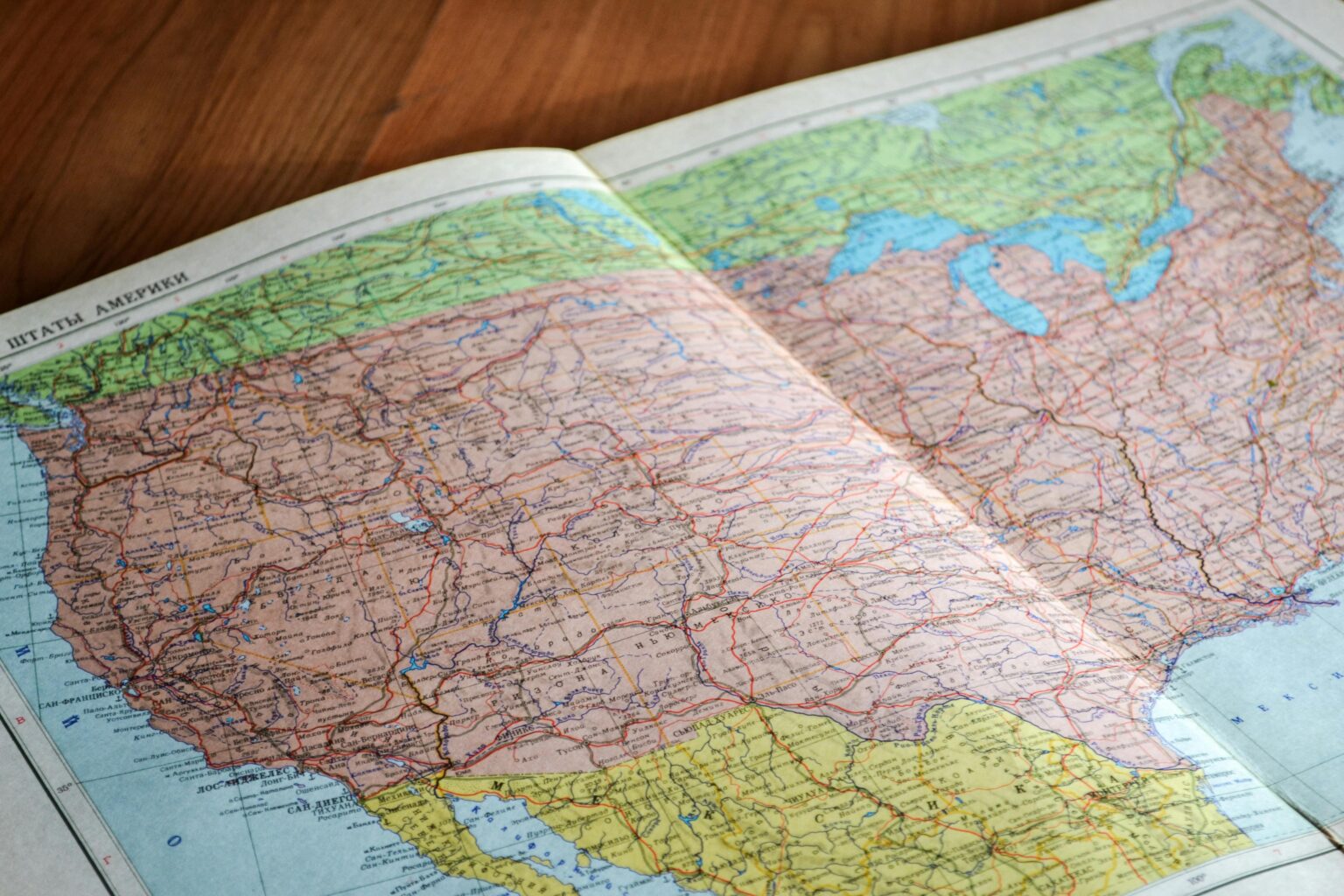
Topographical Map
"Topographical maps: Unveiling Earth's contours, guiding exploration with precision."
Why Choose Us
"Unmatched Expertise: Why Choose Us for Your Spatial Solutions?"
Choosing us means tapping into a reservoir of expertise honed through years of navigating the intricate landscape of spatial solutions. Our team, composed of seasoned professionals, has a proven track record of delivering excellence across various projects. We pride ourselves on our ability to translate complex challenges into streamlined, actionable strategies, ensuring that our clients achieve their objectives with precision and efficiency.
Geographic Information Systems (GIS) and remote sensing data hold immense potential for revolutionizing the way we understand and interact with the world around us. By integrating spatial data with advanced analytical tools, we can uncover patterns, trends, and insights that were previously hidden. This powerful combination enables us to make informed decisions, optimize resource allocation, and enhance operational efficiency across diverse sectors such as environmental management, urban planning, agriculture, and disaster response.
Our commitment to innovation and client satisfaction is at the heart of everything we do. We continuously invest in the latest technologies and methodologies to stay at the forefront of the geospatial industry. By leveraging cutting-edge GIS and remote sensing techniques, we provide our clients with solutions that are not only efficient but also transformative. From improving land use planning to monitoring environmental changes in real time, our services are designed to drive impactful results.
Partnering with us means embarking on a journey towards spatial optimization that is marked by clarity, precision, and transformative outcomes. Whether you are looking to enhance your operational capabilities or gain deeper insights into spatial phenomena, we are dedicated to delivering solutions that exceed your expectations and drive sustainable growth.
What we offer
Select GIS Data for Natural Resources Management and a Sustainable Planet
Selecting GIS data for natural resources management and a sustainable planet is crucial for effective decision-making and long-term environmental stewardship. GIS data provides a comprehensive view of natural landscapes, enabling the analysis of spatial patterns, resource distribution, and ecological processes. By integrating various data sources such as satellite imagery, topographic maps, and field surveys, GIS facilitates the monitoring of changes in land use, biodiversity, water resources, and forest cover. This holistic approach supports the development of sustainable management plans that balance resource utilization with conservation goals, ensuring that natural ecosystems are preserved and utilized responsibly. Furthermore, the ability to visualize and analyze spatial data empowers policymakers, conservationists, and communities to make informed decisions that promote environmental sustainability and resilience in the face of climate change and other ecological challenges.
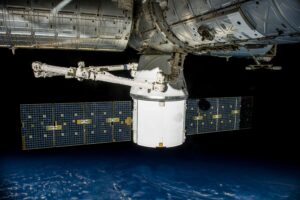
Remote Sensing
Remote sensing data provided by Space Borne revolutionizes the way we observe and understand the Earth's dynamics. Utilizing advanced satellite technology, Space Borne captures high-resolution imagery and multi-spectral data, delivering critical insights into environmental changes, resource management, and disaster response.
GIS
GIS data provided by Space Borne Company is transforming the landscape of spatial analysis and decision-making. Leveraging state-of-the-art satellite technology, Space Borne delivers precise, high-resolution geospatial data that offers unparalleled insights into land use, natural resource management, and environmental monitoring.
HOW IT WORKS
Easy Steps
By following these steps, you can easily order high-quality GIS data from Space Borne Company, tailored to your specific needs.
Visit the Space Borne Website:
Go to the Space Borne Company’s official website. Navigate to the "Data Products" section to explore available GIS data offerings.
Select Your Data:
Browse through the available data categories such as land use, natural resources, environmental monitoring, and more. Once you find the desired dataset, click on order data for more details.
Customize Your Order:
Specify the parameters for your data order, such as the geographic area of interest, the time range, and any specific data layers or formats you need.
Call from us
Once we find your order request, we will contact you for more details.
Download Your Data
Upon successful payment, you will receive a confirmation email with a download link. Alternatively, you can access your purchased data through your Space Borne account dashboard. Download the data to your preferred storage device, and you’re ready to integrate it into your GIS projects.
Our Services
Choose the Cutting-Edge Remote Sensing Data and
Comprehensive Geospatial Solutions
Our services encompass comprehensive geospatial solutions, offering cutting-edge remote sensing data and analysis. We provide precise, high-resolution GIS data to support environmental monitoring, natural resource management, and sustainable development initiatives, empowering organizations with the tools they need for informed decision-making and impactful strategies.

Land Use/Land Cover Maps:
Detailed maps that classify various land use and land cover types, such as urban areas, forests, water bodies, and agricultural lands.
Crop Yield Estimation
Data products that analyze and predict agricultural productivity based on vegetation indices and other remote sensing metrics.
Site Suitability Analysis
Evaluations that determine the best locations for specific activities or developments, such as agriculture, construction, or conservation, using spatial and environmental criteria.
Wildlife Habitat Maps:
Maps that identify and monitor habitats suitable for various wildlife species, aiding in conservation and management efforts.
Deforestation Monitoring
Data that tracks changes in forest cover over time, helping to identify and manage deforestation and reforestation activities.
Climate Change Impact Assessment:
Analysis of how climate variables such as temperature, precipitation, and extreme weather events are affecting ecosystems.
Water Resource Management:
Data products that monitor the availability, quality, and distribution of surface and groundwater resources.
Urban Growth and Planning:
High-resolution imagery and data that track urban expansion, land use changes, and support sustainable urban planning.
Disaster Management and Risk Assessment:
Real-time data and analysis for natural disasters such as floods, earthquakes, and hurricanes, aiding in preparedness, response, and recovery efforts.
Get In Touch
Contact Us
For any queries about data, contact us
Office Mail
data@spaceborne.in
Office Number
+91-6743150915
Office Address
Rasulgarh, Bhubaneswar, Odisha